Sea to Sky ConnectionMichael Overbeck, Adventure Photographer
15 April, 2021
Michael Overbeck is an Adventure Photographer currently based in Squamish, BC. His images focus on documenting exploration, the human limit, and untamed landscapes. He has garnered widespread recognition for his ability to move through harsh environments with world-class athletes while using his lens to create powerful and inspiring images.
The video below explores Michael's deep connection to Squamish and the Sea to Sky Gondola on both a personal and business level as well as the impacts felt by the unexpected Sea to Sky Gondola closures.
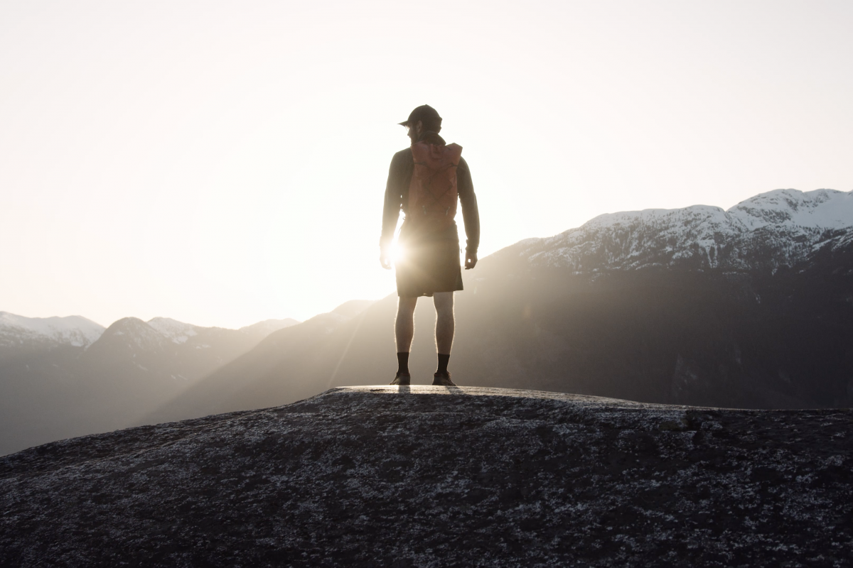
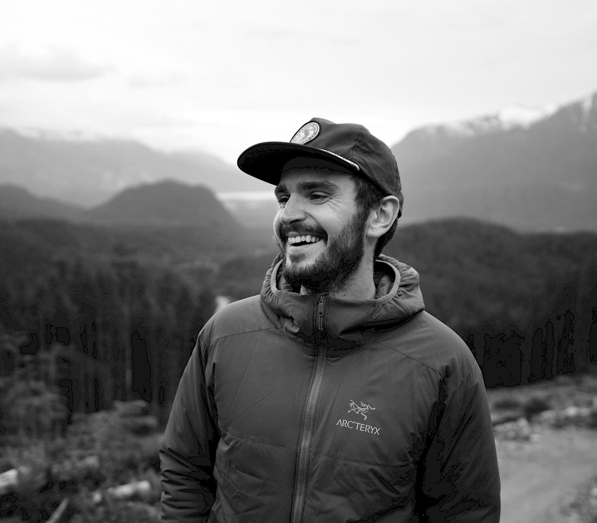
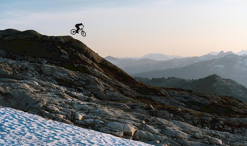
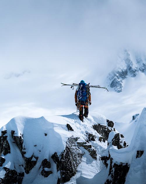
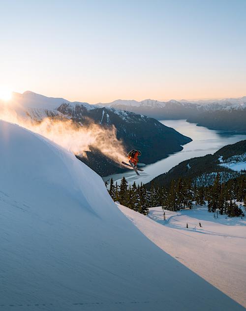
Photography | Michael Overbeck
Sea to Sky Backcountry Map
A must for your next backcountry adventure, the Sea to Sky Backcountry Map is the most accurate and up-to-date backcountry adventure map available for the Sea to Sky Gondola and Squamish Chief. The primary goal of the Sea to Sky Backcountry Map design is clarifying safe access routes for ski touring and winter backcountry recreational use. Created by Eric Carter and Evan Stevens. They have spent decades exploring the peaks and pow above Howe Sound and now you can benefit from their experiences.
- High resolution 1:12,000 scale. Larger scale than any other map in the corridor.
- Covers 24 square kilometers including Stawamus Chief, Mt Habrich, Sea to Sky Gondola, Sky Pilot and the Ledge Basin.
- 31 inch by 21-inch map printed on waterproof and tearproof paper.

The Sea to Sky Backcountry Map
The Sea to Sky Backcountry Map is the most accurate and up-to-date backcountry adventure map available for the Sea to Sky Gondola and Squamish Chief.